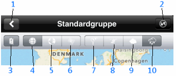
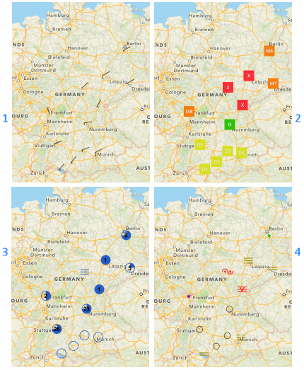
In this view wind direction as well as wind speed in 5-kt-increments is shown.
 - 0-5 kt
 - 5-10 kt (small line equals to 5 kt)
 - 10-15 kt (large line equals to 10 kt)
 - 15-20 kt (small and large line)
 - 20-30 kt
 - 50 kt (triangle)
 - calm or wind variable
The current Flight/weather rule (as configured) is shown for each station.
Cloud amount as a symbol and the ceiling as a number in hecto feet is shown for each station.
 - no clouds
 - few (FEW)
 - scattered (SCT)
 - broken (BKN)
 - overcasted (OVC)
 - not measured
 - not measurable (VV, e.g. due to fog)
The symbol of the first reported weather phenomenon is shown.